ICELAND ADVENTURE - DAY 08 – INTO THE MOUNTAINSAugust 2016 ICELAND ADVENTURE - DAY 8 – INTO THE MOUNTAINS
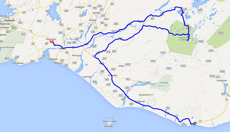
Day 8 map
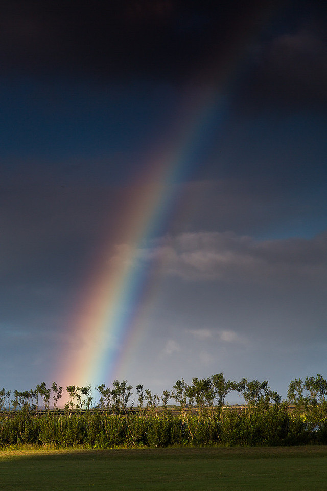
LEAVING VIK Leaving Vik for the last time, we continue our westward direction but with an all day detour to the Northeast and into the mountains. The morning in VIK greeted us with a rainbow which implies sunshine – at least somewhere in the vicinity – but rainbows also signify that it’s raining nearby was well. I wonder which will win today. This was a long day for us. We started off an hour earlier than normal and wouldn’t reach our hotel for the night till just about dinner time. Morning Rainbow near Vik
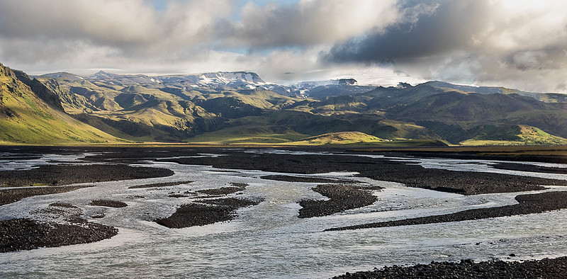
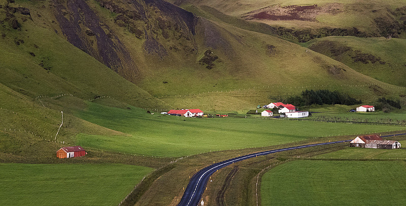
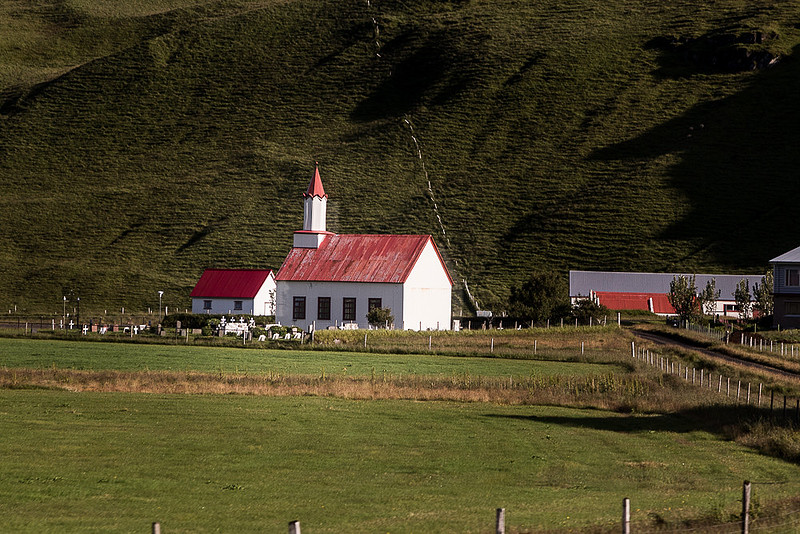
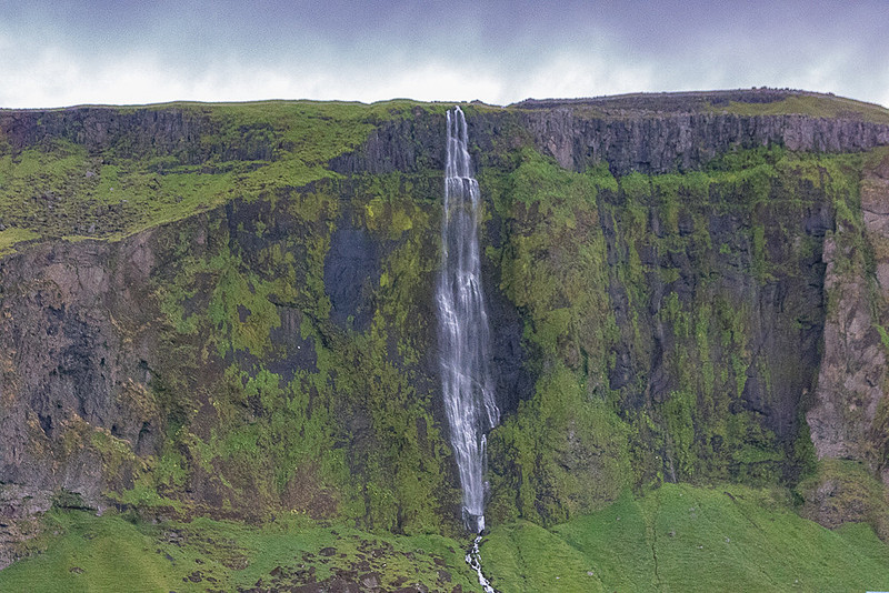
ALUVIAL PLAINS RE-DO As we continued backtracking along RT-1, we once again passed quaint rural churches with their customary red metal roof, crisp mountains sometimes in the sun, bucolic farms surrounded by carpets of green, multi channel rivers carving silver ribbons across the charcoal plains to the sea, and waterfalls. Unknown river, Rt-1 W. of Vik near Rt-219
Farms along Rt1 W. of Vik between Rt-125 & Rt-218
Church along Rt1 W. of Vik between Rt-125 & Rt-218
Gljufurarfoss Falls (Rt-1 near Rt-247)
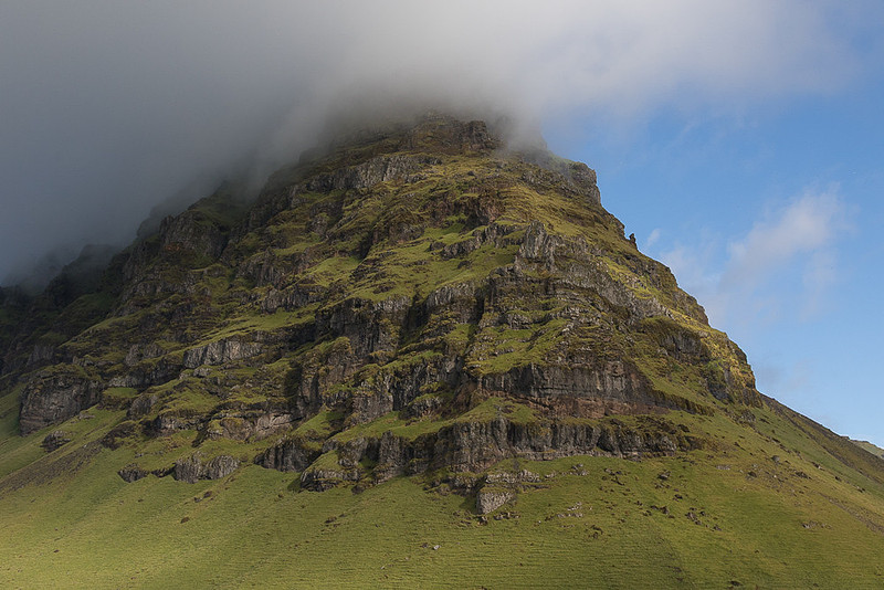
Rt-1 near Rt-242 (E. of Holt)
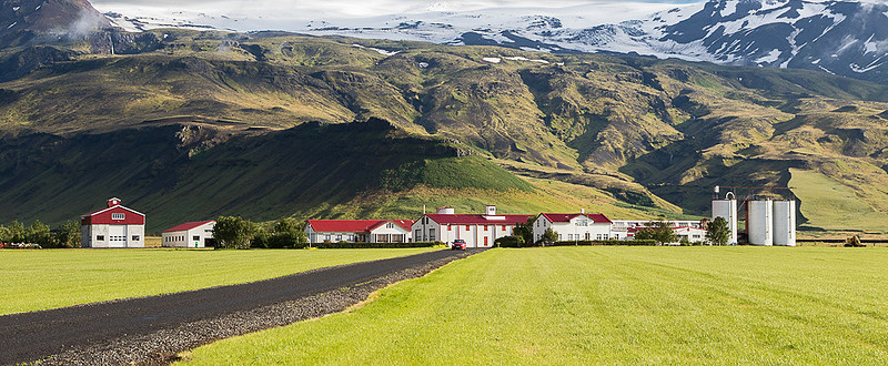
THORVALDSEYRI FARM One such farm called Thorvaldseyri is at the foot of the glacier topped volcano, Eyjafjallajokull. This well maintained, and prosperous farm, has been in the same family since 1906 and produces dairy, meat, grain, canola oil and hydro electric power. What makes this farm a popular stop is that it is almost entirely self sufficient. They either grow or make everything they need, including electricity. As it turns out Eyjafjallajokull volcano is the one that erupted in 2010 and disrupted air traffic in much of the northern hemisphere for several days out of fear of the volcanic ash getting into jet engines and destroying them in flight (I remember that from the news). Having jets falling from the sky was generally considered to be a bad thing so most airlines and countries stopped flying till the ash cloud dissipated and blew east. When this volcano erupted in 2010 it drew a lot of international attention with journalists from all over the world descending on poor little Iceland to cover the story. The one thing that became evident quite quickly is that for most of the world Icelandic names are nearly impossible to pronounce even for seasoned reporters who mangled this name in their reports over and over. To save face these reporters just started calling the volcano “E15” – meaning the letter “E” followed by 15 more letters. Now, that’s creative thinking. As this farm is right below that volcano as well as the glacier that sits on top of it, they had a pretty rough time during the eruption. But they held it all together as their stream flooded with ash and rock laden glacial melt and their fields and buildings were buried in a layer of ash. During that time, and for some time thereafter, they were cut off from much of the island. But as they had always been pretty self sufficient they were able to remain at the farm, living off stored foods of many kinds and their own power generating ability. Thorvaldseyri farm
MOST IMPORTANT STOP OF THE DAY After passing a few more waterfalls and some more farms we turned inland and started heading Northeast. About 20 minutes later we reached our next stop which, as it turns out, and we were forewarned about, would be the most important stop of the day. This was an otherwise unassuming point on the map that I actually can’t even find now - even at full magnification on Google Maps. You won’t find this place in guide books or in lists of the 50 best places to see in Iceland. I refer, of course, to a little gas station, gift shop, affair with a restroom. We were told ahead of time to make good use of this facility as our next restroom would be 4 hours away with literally no options in between. So, all made good use of this very important stop as we were about to say goodbye to civilization for quite some number of hours.
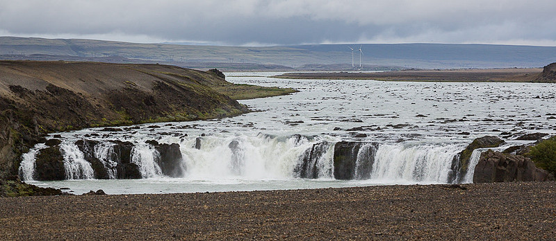
TROLLKONUFOSS FALLS & WIND POWER Once relieved, so to speak, the nicely paved road we were on turned to dirt which I don’t think had seen a grader in several decades. We took a quick look-see stop at an unassuming waterfall called Trollkonufoss falls which was not all that impressive, but at least we were out the bouncing bus for a few minutes. If you look closely at the image you can see two wind turbines in the background. These are experimental turbines put in to assess the practicality of using the wind to generate power. Once they got tired of building expensive dams with hydro electric generating capacity (which kept having issues with those pesky volcanic eruptions and massive floods) they looked to other, renewable, means of generating power. As most of the world was looking at wind they started down that path as well. However, around the same time they also figured out how to harness thermal areas for hot water and steam that not only could be used directly to heat homes (eliminating much of the demand for electricity) but also could be used to actually generate electricity as well. So, several Geothermal plants were constructed and have worked out so well that the wind initiative has pretty much stalled. Of course the Power Company web site fails to mention any of this. Anyway these two Wind turbines have yet to attract any new members to their “wind farm” and it seems they are not likely to. Trollkonufoss falls, Mt. Hekla Area, Rt-26 near Rt-F225
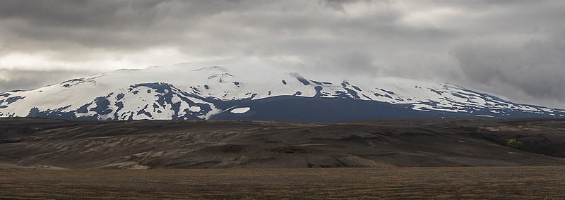
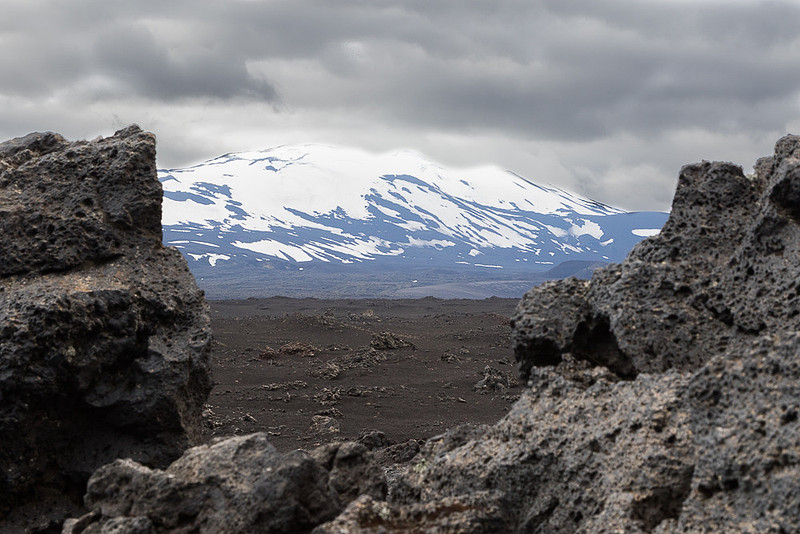
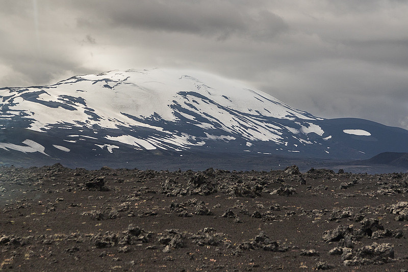
MT. HEKLA As we traveled this section of unpaved road we were circumnavigating Mt. Hekla. Mt. Hekla is the most known volcano in Iceland as it’s been the most problematic in recent history. It sits on top of a 25 mile long fissure but the volcano itself is a mere 3 miles long and stands around 5000 ft high. Volcanoes like this have an estimated life span of 100,000 years so at 6,000 to 7,000 years old it’s still a baby. It is estimated to have popped around 20 times in it’s history with the last major eruption occurring in 1947 (13 month eruption). However, it’s had minor eruptions in 1970, 1980, 1981, 1991 and 2000 – or about every 10 years. The most recent one was February of 2000 when the eruption lasted a bit over a week and produced a fairly large amount of lava and grounded air traffic throughout Europe once again. As Mt. Hekla has a history of recent major eruptions and that it is many decades past due for a big one (and 6 years past its recent 10 year pattern) it is considered to be the best candidate for a major blow at any moment. In 2010 (on schedule for the recent 10 year pattern) scientists started picking up the telltale signs of an impending eruption. Of the 3 detection devices that could be used to triangulate the location of the rumbling, one was not operational leaving only 2. Each device produces a circle on a map where the impending eruption is under the circle. With 3 circles you can get the exact location where all three intersect, but with only two circles you are left with 2 intersection points, either one of which could be it. As it turned out in 2010, one of these intersections was right under Mt Hekla and the other was under the quiet Eyjafjallajökull (E15). The scientists were so sure that the culprit was Mt. Hekla that they sent all their scientists, safety and evacuation teams, and equipment to Mt. Hekla. So, when E15 blew everyone was in the wrong place. Many Europeans believed that Hekla was one of two known entrances of Hell (the other being Stromboli). Many extraordinary and dreadful legends about the volcano existed and no one climbed it until 1750, when two naturalists ventured to the top. Up there, they could not find anything to substantiate the legend and since then, the mountain is frequented by all kinds of people. Mt. Hekla extending 3 miles along a fissure
Mt. Hekla
Mt. Hekla
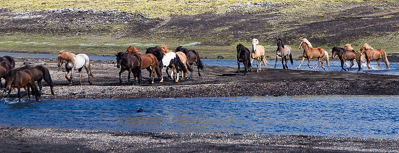
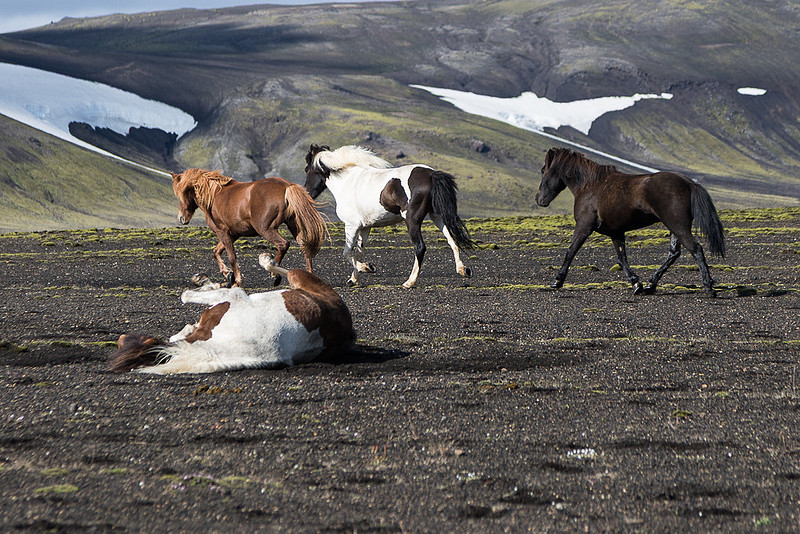
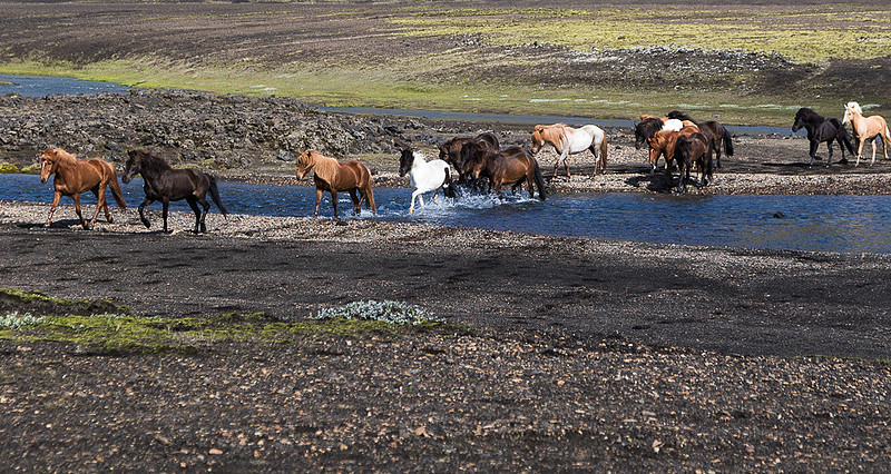
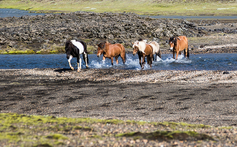
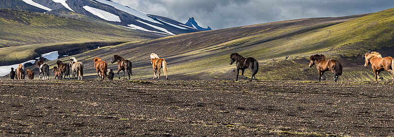
FIALLABAK NATURE PRESERVE Bouncing along this “road’ some more led us to the Fiallabak Nature Preserve. In a stroke of great timing just as we arrived at a river crossing (no bridge – just find a shallow spot, drive on through and hope for the best), coming the other way was a herd of Icelandic (or Arctic) Horses being herded down to lower pasture land. We all grabbed our cameras as we bounded out of the bus just as this herd of a couple dozen horses forded the river in front of us. This was quite a wonderful surprise. Most of us had our cameras set for landscapes so how well each of us got reset for action in the heat of the moment was somewhat haphazard. I think the folks who just went with the full auto “sports/action” dummy mode did the best. And, nobody that I know of thought to go with video. Anyway it was a wonderful surprise that almost made this foray into the mountains worthwhile. Fording the river
Hard to reach itch
Fording the river II
Fording the river III
Off to Lower Pasture
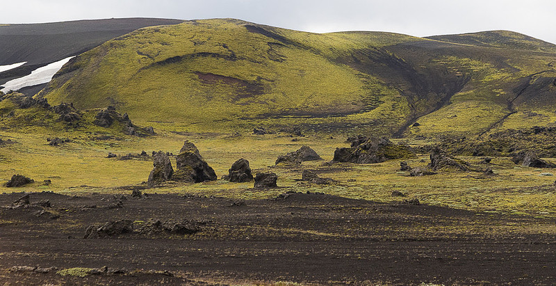
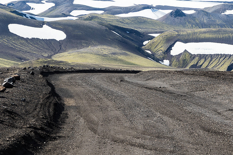
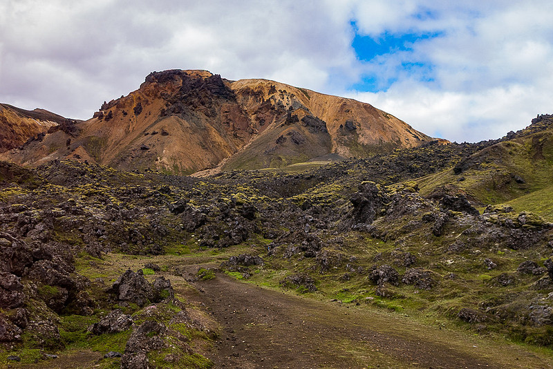
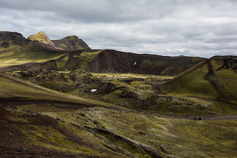
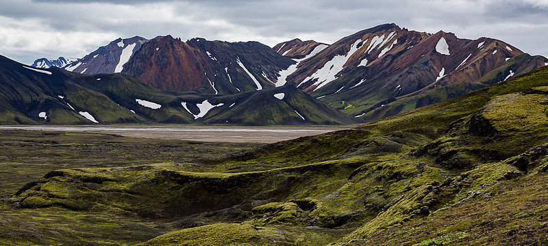
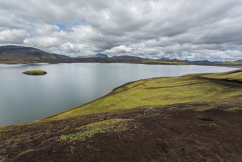
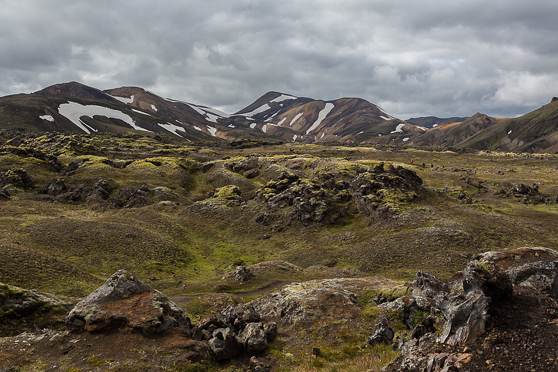
Pressing on we encountered more lava flows – one of which was made of obsidian and others with interesting rock formations, and a nice lake before arriving at our destination - Camp Landmannalaugar – and a much anticipated restroom after 5 hours since the last one. Interesting patterns in the hills
This was our road
Not our road (but close)
Eerie landscape
Volcanic Landscape
Frostastaoavatn lake in Fiallabak Nature Preserve
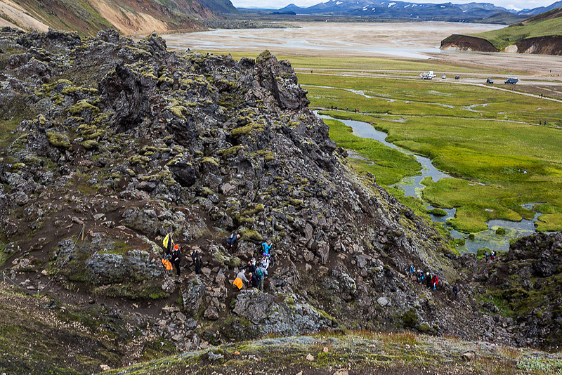
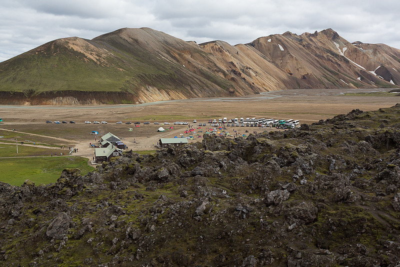
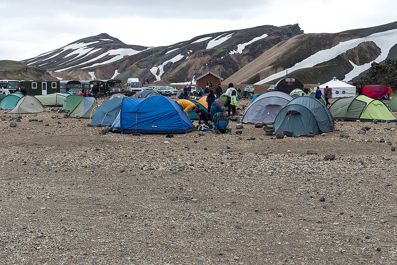
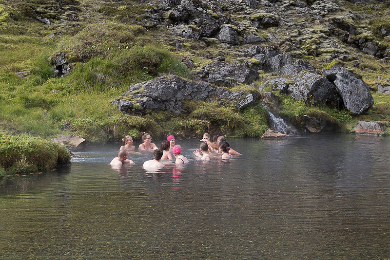
CAMP LANDMANNALAUGAR Camp Landmannalaugar is designed for backpackers. There is public bus transportation to this camp from local towns so many backpackers use this camp as their starting or ending points. The camp itself is in a valley along a river where most of the valley floor is a gravel flood plain for the river. Beyond the parking lot is a rough rocky area for the backpackers to pitch their tent. This area is quite colorful with all the tents there and has these odd rectangular and circular bare patches where a prior camper had cleared away the rocks. I guess when you come here you look for a cleared spot about the right size for your particular tent and then adjust as needed. In addition, there are restrooms, showers, places that serve as kitchens for the campers and a small store. Alongside the camp is a hot spring that feeds a stream (not the main river that formed the valley) and a bit down a wooden boardwalk is a swimming hole where the water is hot tub temperature which I’m sure is quite welcome for folks coming off the trail. As this camp is in the gravel riverbed, they built a large levy to keep flood waters away from the developed facilities. After using the restroom and having a picnic lunch that came along with us on the bus there isn’t much to see here other than a stroll down to the place where the swimmers were or a short, and steep, climb up to a view point (not much of a view). So, all in all probably not worth over 7 total hours on a very poorly maintained dirt road. View from hill above camp. Stream in shot is from hot spring
Back country above camp
Camp from hill top
Tenting
Warm spot in stream
The rest of this day was pretty much getting out of this area along an equally poor dirt road which, when it finally met up with paved road, was cause for a mighty cheer and sigh of relief. We ended out day at a hotel outside of the town of Hverageroi, not too far from Selfoss where we stayed earlier in the trip. ================================================= PLEASE LEAVE COMMENTS AS I ENJOY HEARING YOUR REACTION TO WHAT I'VE WRITTEN See the whole Iceland 2015 trip blog series here: https://www.danhartfordphoto.com/trip-index-iceland-2015 Photographs from this trip can be found on my website here: Photographs from Iceland (including this trip) can be found here: Check my travel blogs for other trips here: Thanks for reading – Dan
Keywords:
Arctic Horses,
Camp Landmannalaugar,
Church,
DanTravelBlog,
DanTravelBlogIceland,
Fiallabak Nature Preserve,
Gljufurarfoss Falls,
Horses fording stream,
Iceland,
Iceland Backpacking Camp,
Iceland Farm,
Iceland Horses,
Mt. Hekla,
Rainbow,
Roundup,
Thorvaldseyri Farm,
Travel Blog,
Travel Log,
Trollkonufoss Falls,
Waterfall
Comments
No comments posted.
Loading...
|